

Origin Geotech, Established in 2018, we provides all kind of geospatial services, Origin Geotech integrates a wide range of GIS technologies including Photogrammetry, LiDar, Orthophoto and UAV in Geospatial
Our vision is to grow into a leading Geospatial service provider and a reputed Geospatial services company that provides reliable solutions to the industry.
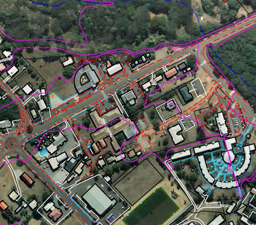
Origin Geotech provides services for digital photogrammetry is a well-established technique for acquiring dense 3D geometric information for real-world objects from stereoscopic image overlap and has been shown to have extensive applications in a variety of fields.
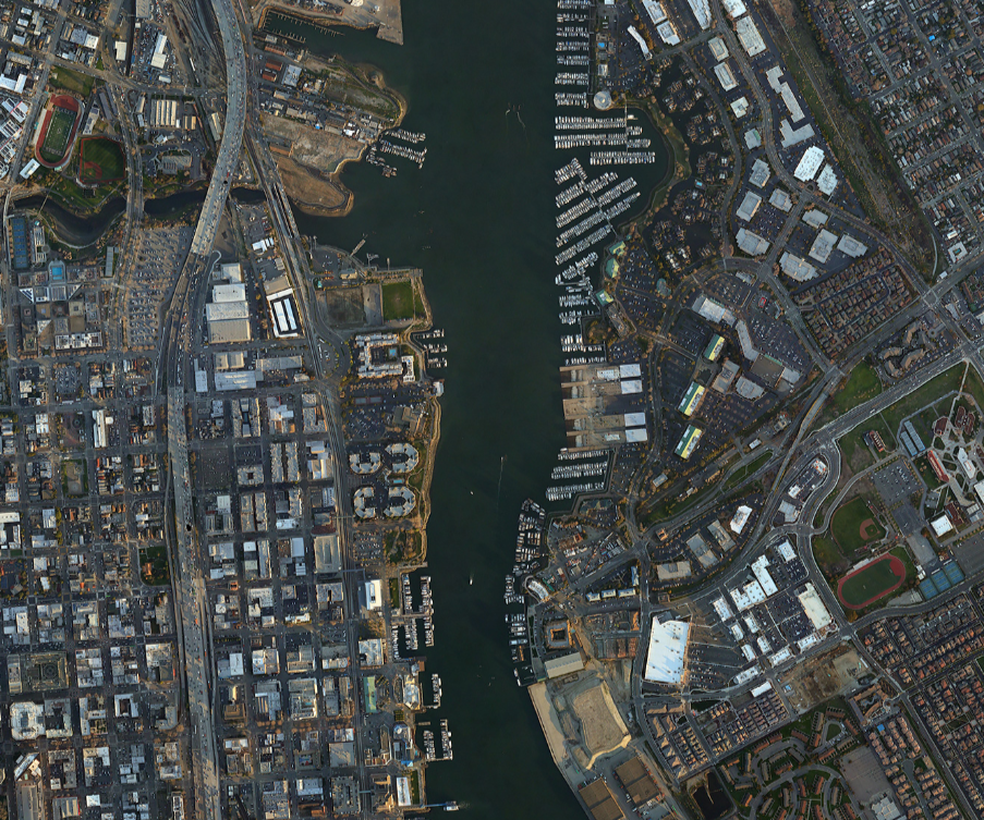
Origin Geotech provides an orthophoto is an aerial photograph that has been geometrically corrected or ortho-rectified such that the scale of the photograph is uniform and utilised in the same manner as a map. An ortho-photograph can be used to extract 2D mapping.
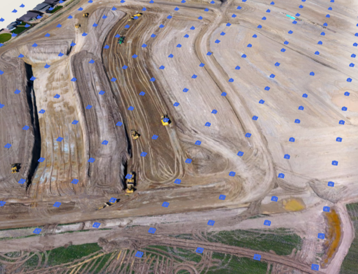
Origin Geotech provides UAV processing, UAV photogrammetry involves taking multiple overlapping images of an object or scene from different angles.Specialized software then analyzes these images to extract depth information and create a 3D model.
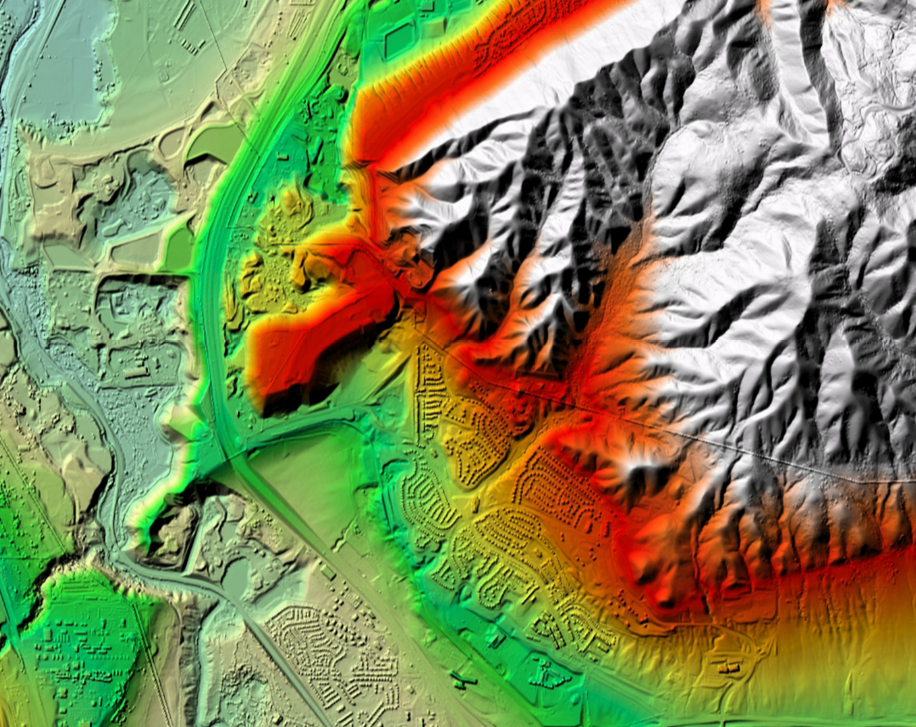
Origin Geotech specializes in offering LiDAR data processing solutions and advanced point cloud classification. We have well experienced candidates for managing both national and international projects encompassing ALS, MLS, and TLS data processing.
© Copyright Origin Geotech. All Rights Reserved